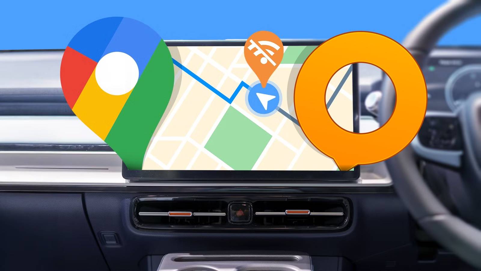
 Credit: Lucas Gouveia/How-To Geek | PrasitRodphan/Shutterstock
Android Auto is all about convenience, and for a long time, that’s all I cared about. Google Maps and Waze work well enough that it’s easy to ignore what they’re doing in the background, right up until you look at the actual data categories they pull from your device. Once you see that list, going back to treating them like neutral tools gets a lot harder to do.
Plugging your phone into your car turns your dashboard into a tracking device
These apps collect way more data than they need to get you home
-
 Credit: Jorge Aguilar / HowToGeek
 -
 Credit: Jorge Aguilar / HowToGeek
 -
 Credit: Jorge Aguilar / HowToGeek
 -
 Credit: Jorge Aguilar / HowToGeek
 -
 Credit: Jorge Aguilar / HowToGeek


-
 Credit: Jorge Aguilar / HowToGeek
 -
 Credit: Jorge Aguilar / HowToGeek
 -
 Credit: Jorge Aguilar / HowToGeek
 -
 Credit: Jorge Aguilar / HowToGeek
 -
 Credit: Jorge Aguilar / HowToGeek





Plugging your phone into your car feels like second nature at this point. But connecting to Android Auto quietly turns your dashboard into something closer to a data collection device. For years, I have used big-name navigation apps without thinking twice. Instead, I should never have been treating them like simple tools instead of what they actually are.
These apps collect more information than they need to get you from point A to point B, especially when used together. For that convenience, you’re handing over a detailed picture of your behavior to companies built around monetizing it.
Out of 35 possible data categories, Google Maps pulls from 24 of them, and Waze from 21, according to research from Surfshark. That goes well beyond your location.
That means names, email addresses, phone numbers, physical addresses, search history, audio data, and photos, all tied directly to your identity. Turning off the obvious tracking settings doesn’t do much either. Google Maps seems to log your coordinates in the background, and Waze makes it kind of hard to turn off, to the point where people make Reddit threads about it.
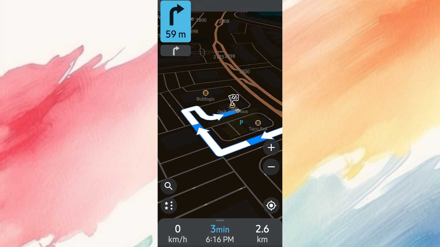
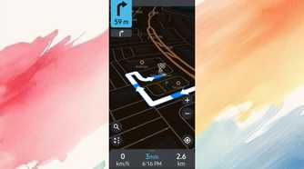
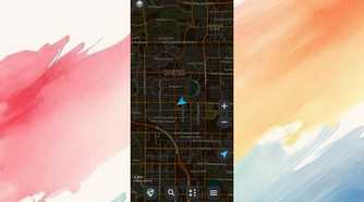
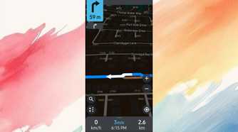
After figuring out that these companies want your location badly, I realized I needed to make a change. The answer turned out to be open-source navigation apps built on OpenStreetMap that we all contribute to. Specifically, Organic Maps uses this, but if you prefer, you can use OsmAnd.
Both work offline, neither collects any data tied to your identity, and there are no advertising networks baked in. Getting them to display through Android Auto takes a bit of work since the platform tries to block apps that don’t come from the Play Store, but it’s doable.
Setting up these privacy apps takes a little prep work upfront
You just download the maps ahead of time to navigate completely offline
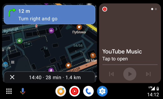
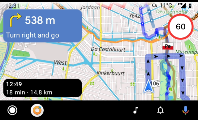
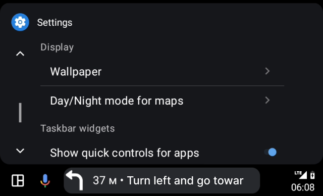
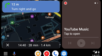
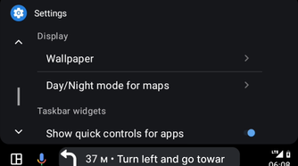
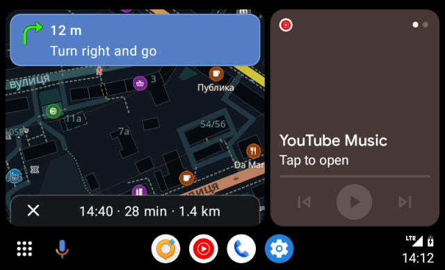
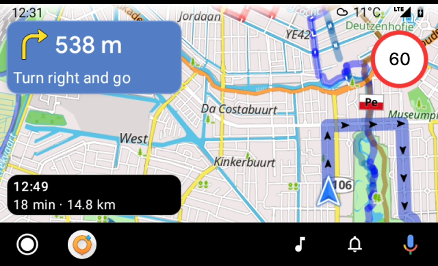
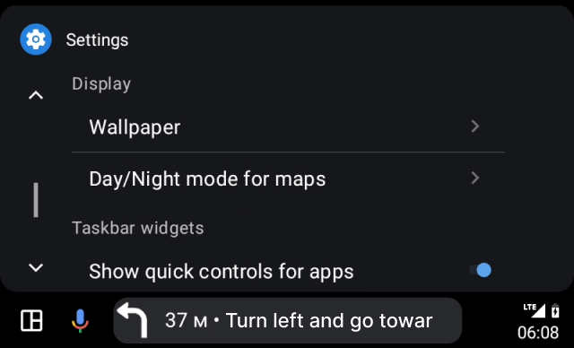
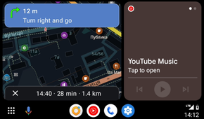
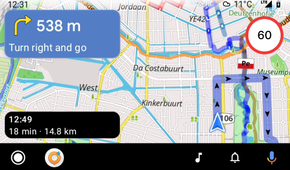
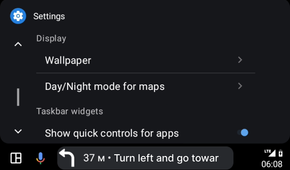
You need to set up OsmAnd or Organic Maps yourself. Both work by using maps you download ahead of time from OpenStreetMap, instead of streaming tiles on the fly. In Organic Maps, these come as highly compressed custom map files, which can go from a few dozen megabytes for a small region up to many gigabytes for an entire country.
You can grab them through the app on Wi-Fi or sideload them manually through a file manager. OsmAnd works the same way. Since the maps and the routing engine both live on your device, the app can calculate routes, give turn-by-turn directions, and reroute you on the spot without ever reaching out to a server.
You can download both OsmAnd and Organic Maps through the Google Play Store. From there, you can run them as you would with the regular Google Maps or Waze.
There may have been more you had to do a long time ago, but since both of these are on the Play Store right now, you won’t need to open developer mode or anything like it.
You will have to give up live traffic updates and business reviews
The trade-off is a quiet screen that never sells your data
 Credit: Jorge Aguilar / HowToGeek
Google Maps works well largely because millions of people use it at the same time, feeding it a constant stream of real-world speed and location data. Apps like Organic Maps and OsmAnd don’t have that. They work mostly offline, routing you based on posted speed limits and pre-downloaded road data.
None of them would know there’s a three-car pile-up half a mile ahead. OsmAnd lets you overlay traffic maps visually, but these apps mostly route you based on static, pre-downloaded road data rather than live updates. Unless you manually set up online routing servers or custom live scripts, the app won’t automatically find you a faster way around a sudden traffic jam.
You’d have to spot the jam yourself and deliberately leave the suggested route to force a recalculation.
The other noticeable gap is the information on businesses. Google Maps and Apple Maps have essentially become search engines with a map attached. You can pull up a restaurant, see its hours, read reviews, and call ahead without ever leaving the app.
OpenStreetMap, which runs on most open-source navigation apps, is genuinely excellent at mapping roads, trails, and geography, but it’s built by volunteers, so the local business listings are hit or miss.
ETAs can be optimistic too, since they’re based on speed limits instead of on what traffic is actually doing.
But these annoyances come with some genuine upsides. The app isn’t syncing to the cloud, serving you ads, or dropping sponsored pins into your route. You also won’t get those jarring mid-drive rerouting prompts that demand your attention right as you’re merging onto a highway.
The navigation just does what you tell it to do and stays out of your way.
It’s time to ditch the spying apps
Switching to open-source navigation isn’t a clean trade. You’re giving up live traffic data, and that’s a real cost on days when something goes wrong on the road ahead of you. There’s also the extra information Google Maps gives for businesses. If those things matter to you, they’re worth weighing before you make the switch. However, if what you want is an app that routes you without logging your behavior and selling it, Organic Maps and OsmAnd both do the job without asking for anything in return.